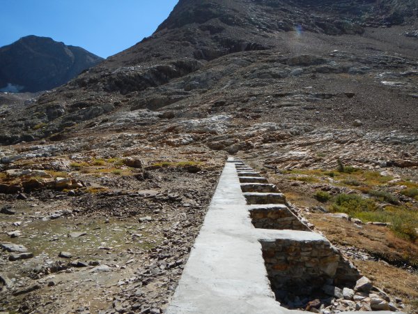
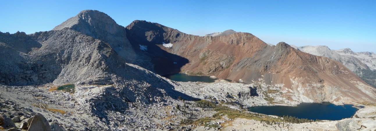
Shotgun Pass is the low point on the ridge south of Rattlesnake Canyon.
For a video of this scenery, check out the
panorama from Sawtooth Peak to Shotgun Pass.
Mike, the guy I met the first day out, took my photo with Rattlesnake Canyon in the background.
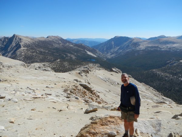
I don't show up in many of my reports because I almost always hike solo.
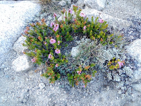
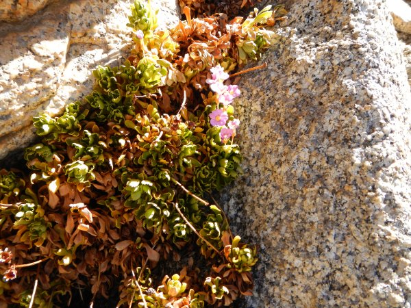
On the way down to upper Rattlesnake Canyon, a number of flowers were in bloom, including pride of the mountains and paintbrush.

This looks to me like pride of the mountains or Penstemon newberryi.

There was just single blossom on this plant.
The wall at the upper end of Rattlesnake Canyon was impressive.

Rattlesnake Canyon ends abruptly in this impressive wall.
I passed the trail sign to Shotgun Pass as I continued down trail to the Forester Lake turnoff which was marked by sign, also.

I had a pretty clear idea of where I was after reading these two signs.
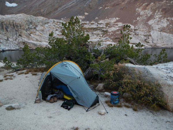
A few minutes later, there was Forester Lake, a lovely spot containing fish, no less. I found a good place for my tent and spent the rest of the day relaxing.

This turned out to be a great campsite.
Day 3
Back on the trail early the next morning, I returned to the Shotgun Pass turnoff where I noticed that the trail was so indistinct that it had been marked off with fallen trees. I wasn't sure what the crossed branches in the foreground meant, but soon I found that they were just missing the skull above. To say that the trail was indistinct for the first mile or so was a huge understatement. I felt blessed if I ran across an arrowhead blaze.

This had to looks of an adventure.
I took a photo of one of the blazes because it had something looking like a trail next to it.

It just may have been a coincidence that there was a trail-like area next to this blaze.
Eventually, I reached a large meadow, hoping that there might be some sign of trail across it. There wasn't. I found the meadow on the topo and headed for what I thought might be the most likely location for the trail on the other side and voila, there was the trail, complete with a couple of ducks. Up the slope I went, spotting a blaze here, a duck there.

Sometimes using a map really helps.
Finally, the trail became distinct as I got closer to tree line.

From here to the pass was mostly a piece of cake.
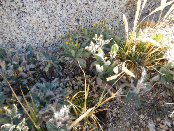
Then, I spotted them. Right next to the trail were lovely little yellow flowers that looked like compact western wallflowers. They were nearly the 'only show in town' up here on the gravel below the pass. All they lacked was the stems to keep the blossoms above the ground. Of course up here at an elevation of 10,963 feet, they would be blown away if they had those stems. Strangely, I had already seen them earlier in the trip on the east side of Franklin Pass at an elevation of 11,650 feet where they didn't make such an impression. Later on, I saw a specimen on the south side of Shotgun Pass just below Silver Lake at an elevation of 10,215 feet and one specimen on the north side of Farewell Gap at an elevation of 10,300 feet.

These little flowers really captured my attention. The blossoms and basal leaves look like wallflower, but without their stem, they remained a mystery to me until I saw them here.

These tiny flowers intrigued me.
At the time, the excitement about the little wallflowers was overshadowed by the problem of getting down Shotgun Pass. I believe the south side of Shotgun may be the steepest non-crosscountry pass I have ever been down. Basically, most of the descent consisted of sliding with loose granite gravel. I gave prayers of thanksgiving when I arrived at lovely Silver Lake.

Shotgun Pass sure doesn't look that bad from this lovely spot on Silver Lake.
I had considered staying at the lake, but since it was still early and trail conditions on the south side of the pass were so dicey, I decided to continue down the canyon. The trail was mostly washed out and didn't appear to have been maintained in years. As I got into heavier timber and undergrowth, the trail continued its overly steep descent and I began to fear I would never find the trail that would cut across to the Little Kern River. Was I happy to see a trail sign, then another. The Silver Lake sign was uprooted and propped against a boulder. The other sign gave distances to Coyote Pass, the Broder Cabin, and Mineral King.
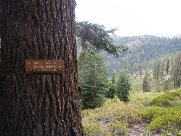
Since the Broder Cabin [shows up as a site on the newer maps] was only a mile away, I thought that it might be a good place to spend the night.
I was becoming cautious in light of trail conditions and decided I'd better make sure I had plenty of water for the dry crossing to the Little Kern. With water bottle in hand, I walked toward the sound of rushing water, only to find the water invisible beneath tons of boulders.
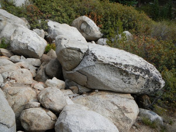
Where's the creek? There must be another stream on the other side of Shotgun canyon, I told myself.
Much to my delight, there was, and its water was icy cold to boot.
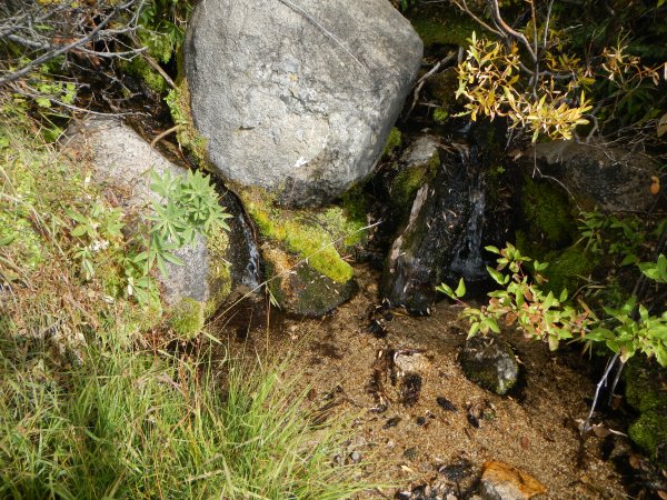
It's nice when there are two streams in a canyon, especially when one can't be reached because it's covered with boulders.
I continued west toward the Little Kern while my legs were massaged by white thorn and manzanita which couldn't have been pruned more recently than sometime in the last century. Fortunately it didn't take long to get across the brushy slope and I arrived on a ridge covered in red fir. Red fir stands are my favorite because they are the most fragrant of forests. My pleasure didn't last long, however. The trail made its gentle descent into the Little Kern canyon along a set of sweeping switchbacks. The one mile the sign promised to the Broder Cabin seemed to stretch to two or maybe even three miles. By the time I got to the trail junction, I was beat. There was no sign there, either, adding a feeling of uneasiness. Well, I was pretty sure of where I was, so I headed north, up-canyon, looking for a place to camp. I found a tiny grove of red fir and spent a restful night under their protection.

There was only room for a one man tent beneath the trees.
Day 4
The trail up the Little Kern couldn't be as bad as the Shotgun trail, could it? No, it wasn't. I passed by many flowers still in bloom then lost the trail in the willows. Metamorphic rocks provide a different growing platform for plants than granite. It makes it possible for wide bands of willow with other dense vegetation to form. In one of the swaths of willow, the trail disappeared and I drifted toward the bottom of the canyon.

I made it through several patches of willows, but eventually I lost the trail.
Eventually, I reached a place where I could no longer safely ascend the steep east slope of the canyon. I would have to cross the river. I took comfort in seeing evidence that others had taken the same path. I couldn't be certain that this was the real trail, but it would have to do. A few hundred feet upstream of crossing to the west side, I had to go back to the east. From what I could see on the map, these would probably be the only crossings I would have to make. I climbed up, close to the creek, and had the feeling that the trail must be somewhere above on the sagebrush covered slope.

I had to hop around on the granite boulders lining the Little Kern. Fortunately, I wasn't off trail that long.
Sure enough, it was, and looking healthier than ever.

I could have saved a lot of time and trouble if I had been able to stay on the trail.
What seemed like a short while later, I arrived at the Bullion Flat Camp. It's marked on the inch to a mile map with a teepee, so I figured it was a pretty big deal. It was. There were developed campsites on both sides of the Little Kern, a huge packer camp taking up most of the area west of the now tiny river.

It looked like this area had been used a lot. Did you see the horse skull up in the tree?
I took a long break at Bullion Flat then began the climb to Farewell Gap. The trail was in great shape. Flowers were still in bloom in a number of places and I tried to guess which kind would be found at the highest elevations. At the Bullfrog Creek crossing, mountain pennyroyal looked like it felt like it might still be spring. However, most plants were past blooming and most were drying up. Vegetation became sparse as I approached the pass.

There it was, fresh mountain pennyroyal with several new blossoms.
I was surprised that gooseberries didn't mind it on these high, wind-swept slopes.
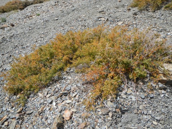
Gooseberries formed thick patches all the way up to the top of Farewell Gap.
Loco weed was up there, too.

I didn't see loco weed any where else on the hike.">
A hairy species of lupine seemed to thrive the best.

Hairy lupine love the south slope of Farewell Gap.
Suddenly, I was on Farewell Gap. I should have known that I'd find plants here that love harsh conditions and disdain lower slopes. They included cutleaf daisies and a specimen of club moss ivesia so large I was tempted to put something for scale next to it.

Cutleaf daisy is one of my favorite alpine flowers.

This club moss ivesia specimen was probably twice as large as any I had ever seen.
I photographed several flowers I had never seen before.

This is one of several species I had never seen before.
I looked down the trail I had just come up and realized a horse had made a statement about the narrow and scary last few hundred feet of trail on the south side.

This is the first part of trail dropping into the Little Kern Canyon. I'm pretty sure the horse that made this statement wasn't coming up the trail. He had been here before and was clearing his throat, so to speak, before taking on this narrow section of trail. The photo makes this section of trail look easy. However, as I ascended this last few hundred feet of trail, I kept my eyes down and concentated on where my feet went and thought of nothing else.
The north side of the pass had less vegetation and variety, but there was one strange specimen of lupine showing off a few blossoms. I ran across another wallflower at an elevation of 10,300 feet as I descended the north side of the pass.

This was one of a very few lupines holding on to blossoms.
At 2:35 that afternoon, I closed the loop that I had started a little more than three days earlier. As I retraced my steps down to Mineral King, I felt relief that I had successfully made it down seldom-traveled Shotgun Canyon and up the tricky trail of the upper Little Kern.
At the trailhead I met a couple of Japanese tourists who were curious about the tarp around my car. They told me that they had read a sign that said marmots only eat cars early in the season in May and June. I felt tempted to tell them that I had never met a marmot that knew how to read a calendar. In July 2003, last time I was in the Mineral King valley, marmots ate insulation from the hood of my car, so I know they don't bother reading calendars.


